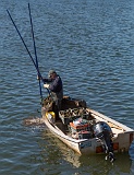
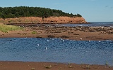
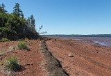
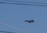
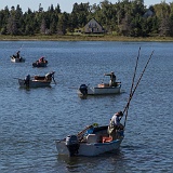
On our first full day in PEI we wroked our way west along the north shore, stopping to watch the oyster fishermen and then to walk in Cavendish. We stopped for two nights at a B&B in Miscouche, just outside Summerside, and were surprised to have two CF-18s doing circuits above us, even though the military no longer owns the airport.

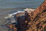
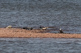
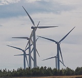
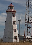
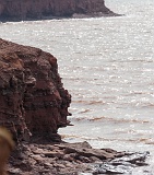
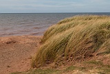
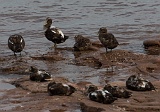
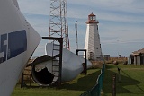
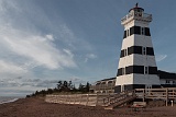
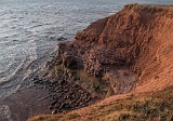
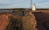
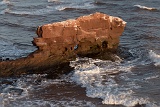
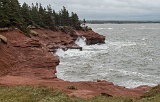
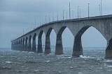
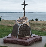
The next day we started by visiting the Mi'Kmaq land on Lennox Island where we looked through the museum and walked some trails. We continued west until we got to North Cape. Here there is a wind energy research station, and just off the point there is a long spit of land, visible at low tide, that marks the join of the currents from the west and east coasts. All the time we were there a bald eagle stood on the small visible part of the spit, while dozens of seals were in a line, looking like they were sitting on the submerged part of the spit. We drove back to Miscoucche along the west coast with lots of typical low red cliffs and lighthouses, and were eventually able to see the Confederation bridge in the extreme distance.

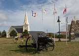
On our last day we followed the coast though Borde,n where the bridge starts, to Fort Amherst that looks out over the natural harbour to Charlotteown. It was then time to return to the bridge and head to New Brunswick.
5D3 3236 5D3 3235 5D3 3239 5D3 3240 5D3 3247  Taken at Latitude/Longitude:46.488314/-63.437855.  km       (Map link)
5D3 3257  Taken at Latitude/Longitude:46.433202/-63.868118.  km       (Map link) 5D3 3261  Taken at Latitude/Longitude:46.599927/-63.856091.  km       (Map link) 5D3 3264  Taken at Latitude/Longitude:46.605553/-63.854299.  km       (Map link) 5D3 3265  Taken at Latitude/Longitude:46.607055/-63.857015.  km       (Map link) 5D3 3267  Taken at Latitude/Longitude:46.613831/-63.855933.  km       (Map link)
5D3 3268-2  Taken at Latitude/Longitude:46.603455/-63.854221.  km       (Map link) 5D3 3272  Taken at Latitude/Longitude:47.056698/-63.995190.  km       (Map link) 5D3 3274  Taken at Latitude/Longitude:47.056698/-63.995190.  km       (Map link) 5D3 3278 5D3 3279
5D3 3281 5D3 3282 5D3 3284  Taken at Latitude/Longitude:47.057498/-63.995878.  km       (Map link) 5D3 3285  Taken at Latitude/Longitude:47.057498/-63.995878.  km       (Map link) 5D3 3296  Taken at Latitude/Longitude:47.056702/-63.995192.  km       (Map link)
5D3 3298  Taken at Latitude/Longitude:47.056407/-63.995739.  km       (Map link) P1020315  Taken at Latitude/Longitude:46.619707/-64.385900.  km       (Map link) P1020321  Taken at Latitude/Longitude:46.401872/-64.134196.  km       (Map link) P1020322  Taken at Latitude/Longitude:46.401872/-64.134196.  km       (Map link) P1020324  Taken at Latitude/Longitude:46.401872/-64.134196.  km       (Map link)
P1020329  Taken at Latitude/Longitude:46.315896/-63.809888.  km       (Map link) P1020330  Taken at Latitude/Longitude:46.315616/-63.809882.  km       (Map link) P1020338  Taken at Latitude/Longitude:46.315616/-63.809882.  km       (Map link) 5D3 3300  Taken at Latitude/Longitude:46.315616/-63.809882.  km       (Map link) P1020343  Taken at Latitude/Longitude:46.250272/-63.705523.  km       (Map link)
P1020349  Taken at Latitude/Longitude:46.195295/-63.136152.  km       (Map link) P1020351  Taken at Latitude/Longitude:46.195295/-63.136152.  km       (Map link)